The United Nations Integrated Mission in Timor-Leste completed its mandate on 31 December 2012. The establishment of the United Nations Integrated Mission in Timor-Leste (UNMIT) was preceded by a number of other UN operations or missions deployed in Timor-Leste beginning in 1999.
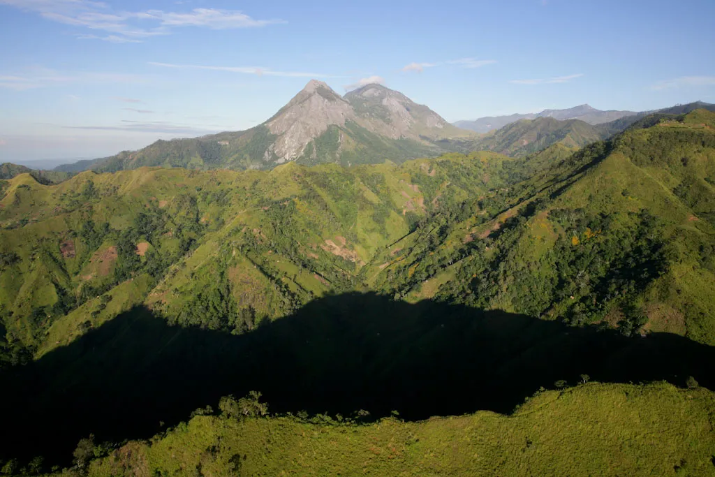
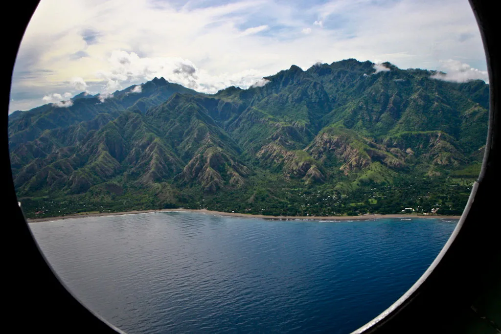
Vista aérea das montanhas ao redor do distrito de Same.
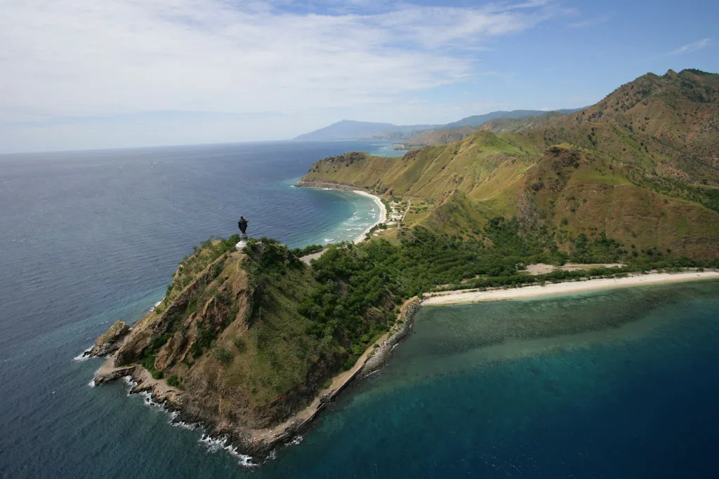
O Cristo-Rei é uma estátua de Jesus de 27 metros de altura localizada de frente ao mar sobre a capital de Díli, no extremo da península de Fatucama.
Monte Ramelau, com 2.964 metros de altura, é o ponto mais alto em Timor-Leste.
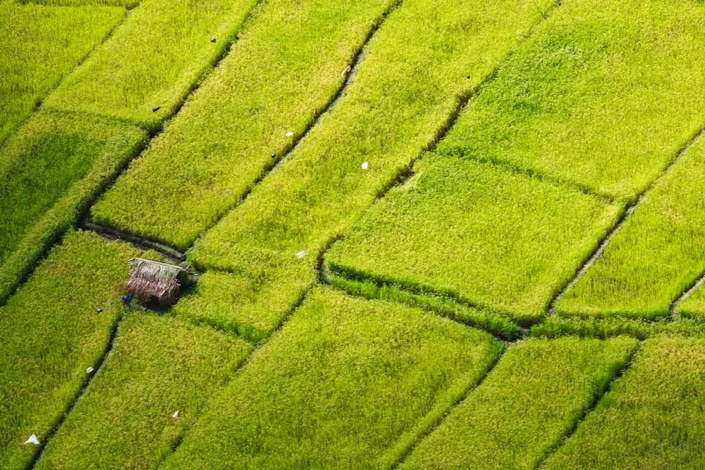
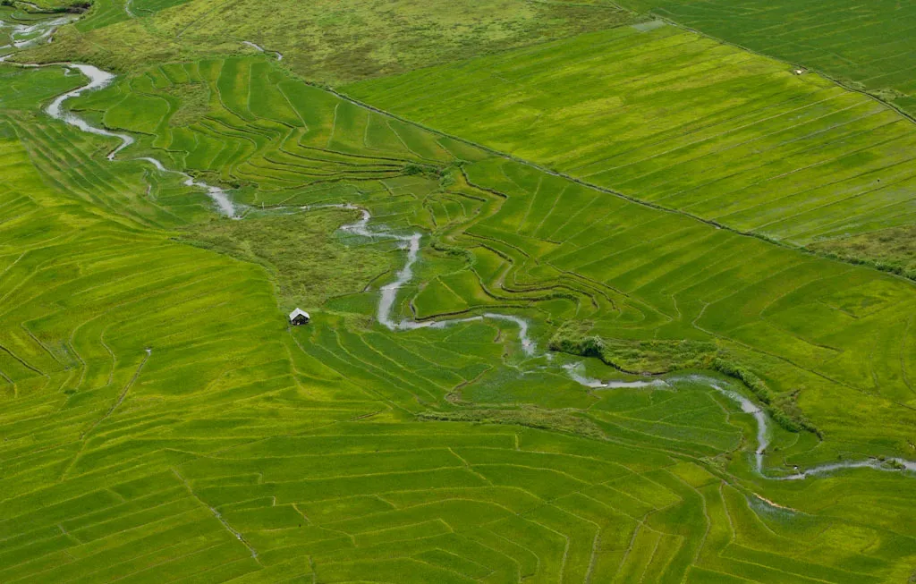
Vista aérea das áreas de plantio de arroz próximas a Baucau.
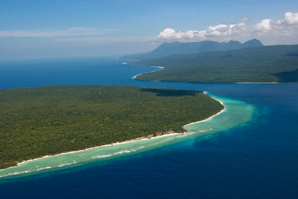
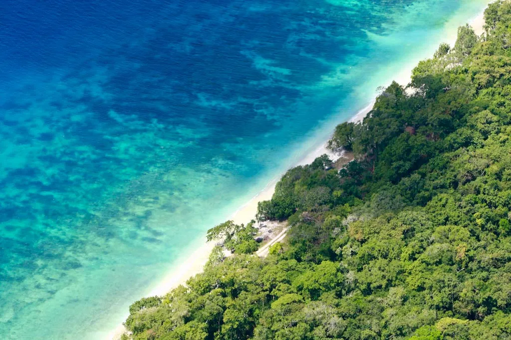
Área protegida de Nino Konis Santana, que inclui parte do Triângulo de Corais, uma das mais diversificadas formações de corais do mundo • Martine Perret, 30/7/2008
Área protegida de Nino Konis Santana, que inclui parte do Triângulo de Corais, uma das mais diversificadas formações de corais do mundo • Martine Perret, 30/7/2008
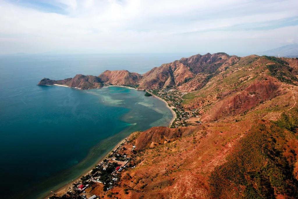
Vista aérea da capital Díli
Vista aérea do enclave de Oecusse • Martine Perret, 12/12/2008
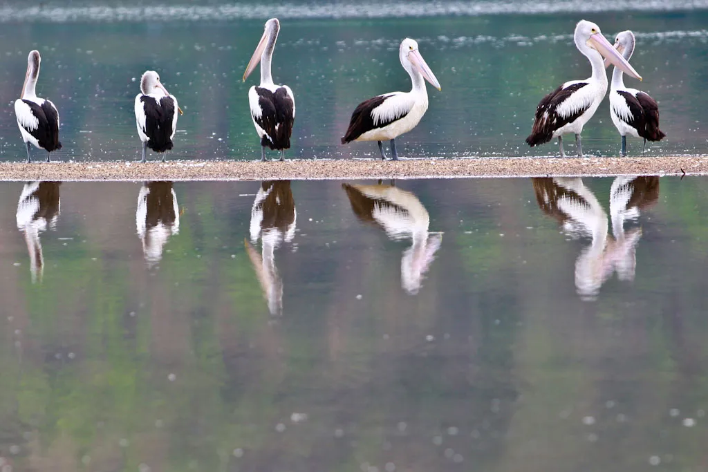
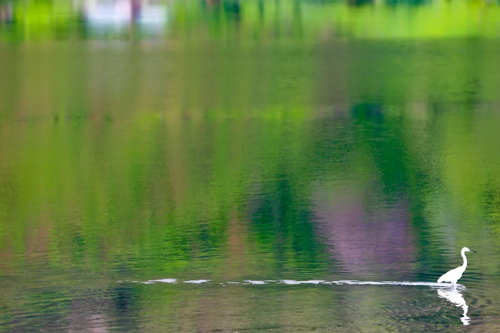
Lago Tasi-tolu, a área alagada mais importante em Timor-Leste, serve de refúgio para pelicanos e muitos outros pássaros
Tasi-tolu apresenta três lagos permanentes de água salgada e de pouca profundidade.
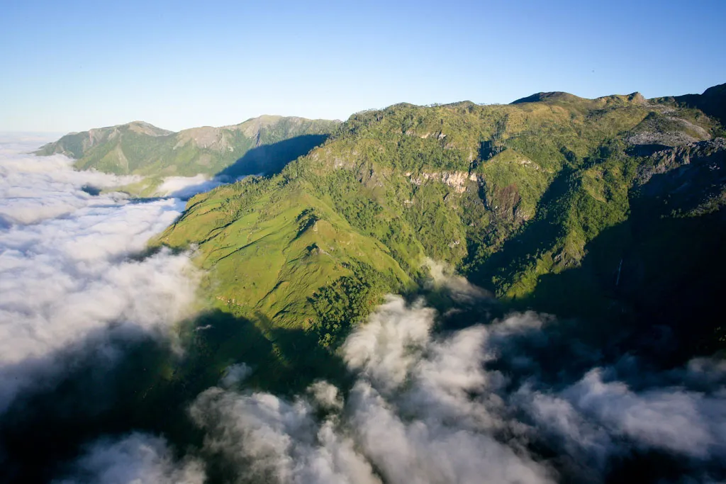
Vista aérea das montanhas entre Ainaro e Díli • Martine Perret, 3/6/2009
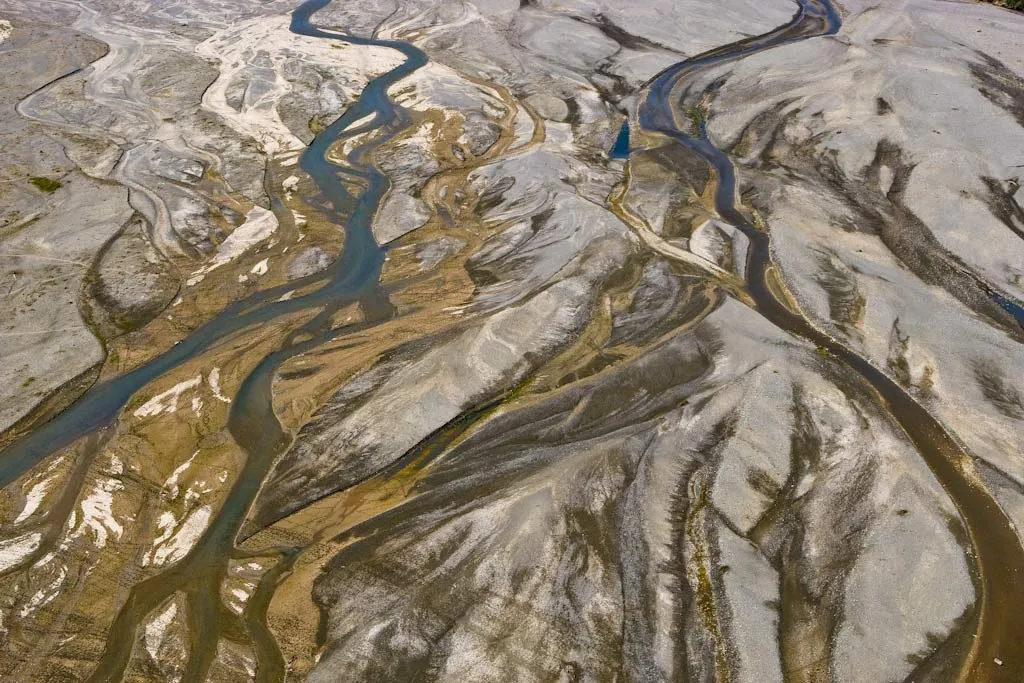
Vista aérea da ribeira de Manatuto.
Vista aérea das áreas de plantio de arroz no subdistrito de Maliana.
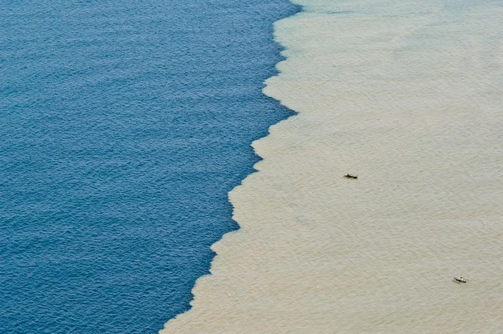
Mar de Timor durante a época das chuvas.
A Ilha de Atauro, situada a 25 kilómetros ao norte de Díli, é um destino para o ecoturismo e o mergulho autónomo.
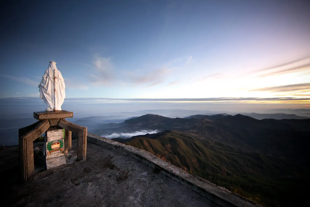
Estátua da Virgem Maria atrai peregrinos ao Monte Ramelau.