Momentum: Timor-Leste forges a vibrant future
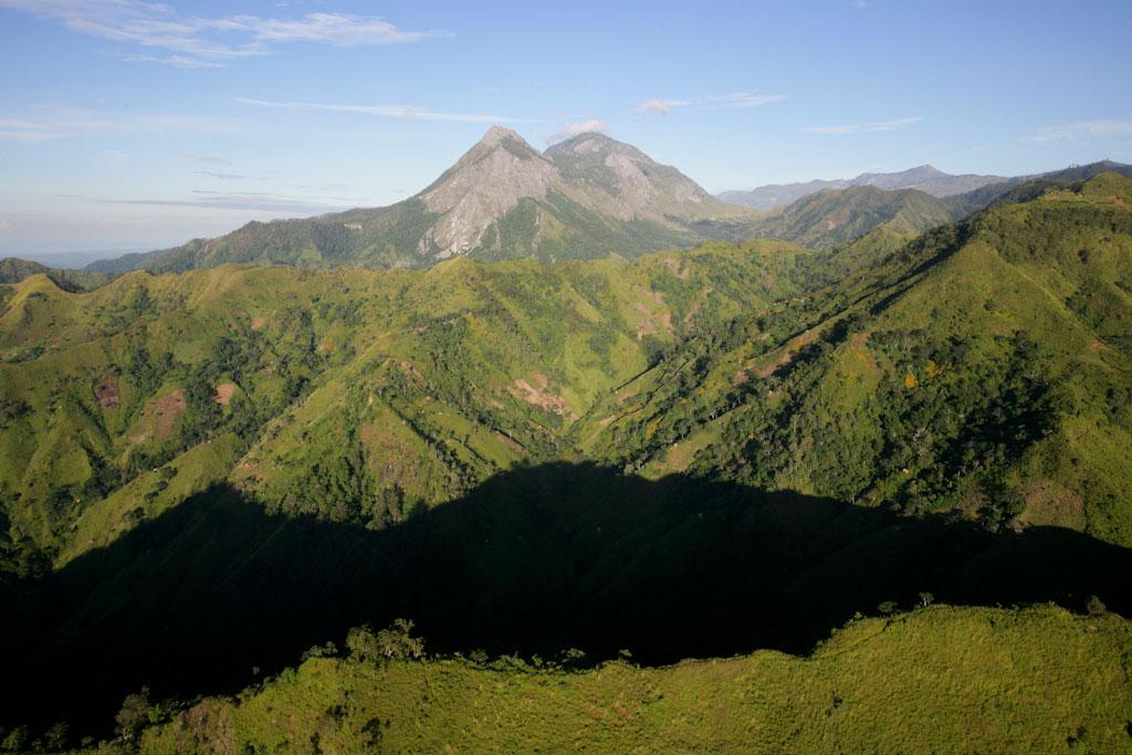
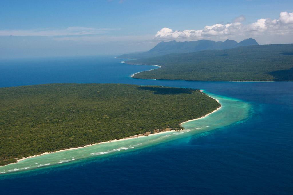
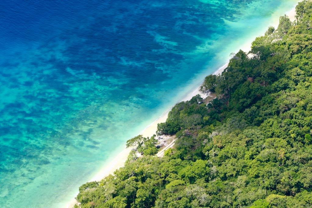
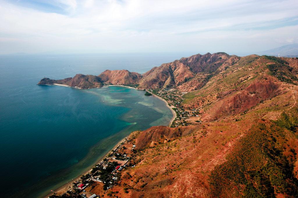
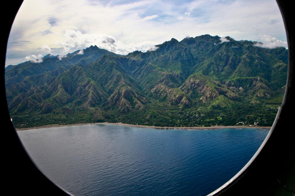
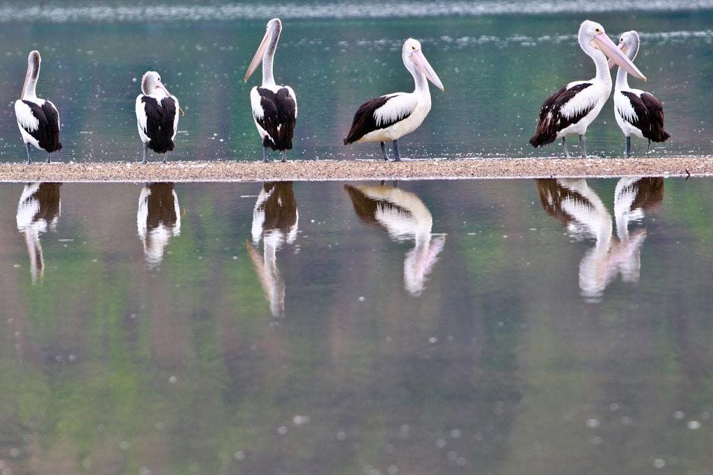
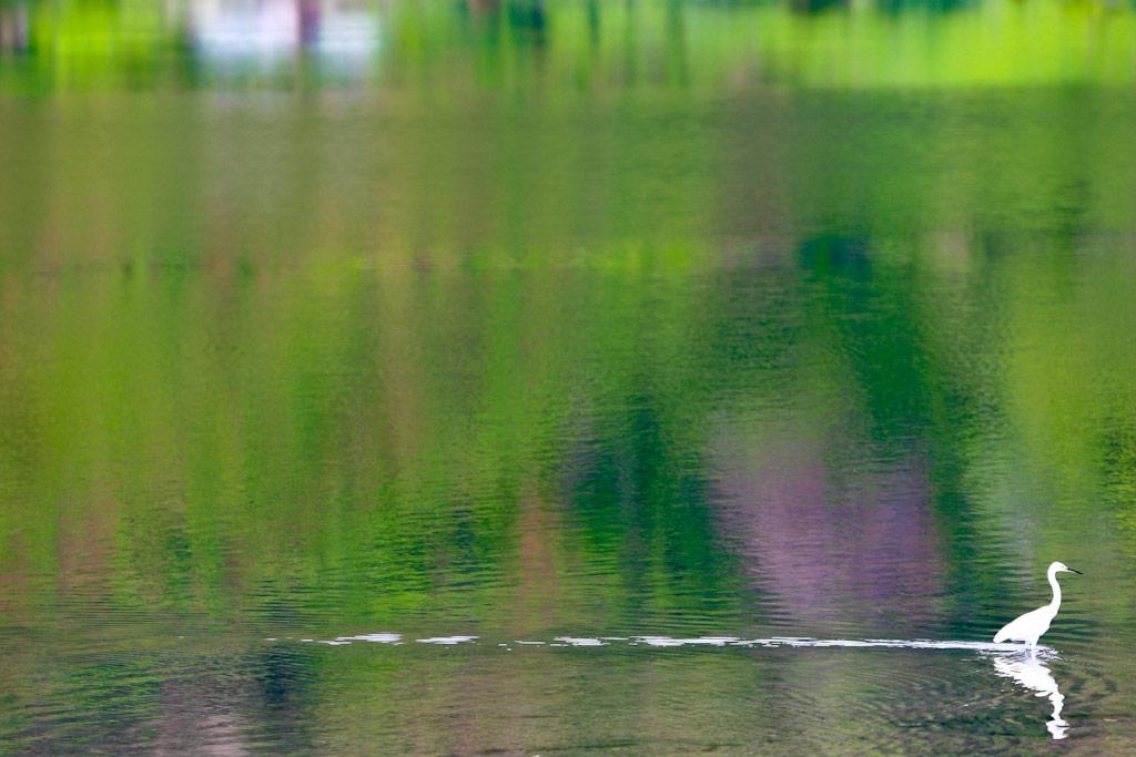
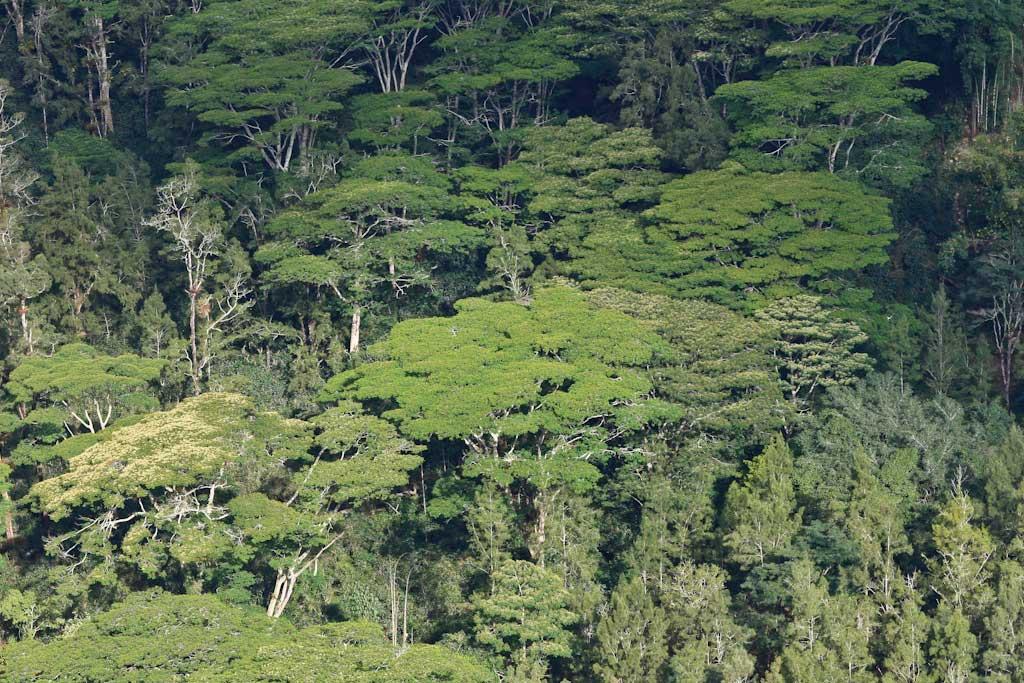
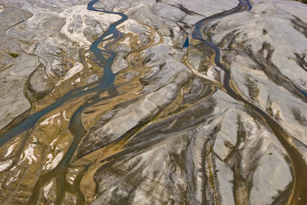
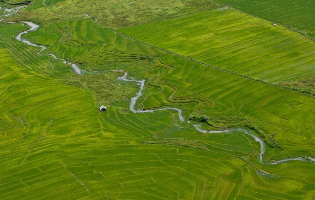
Geography
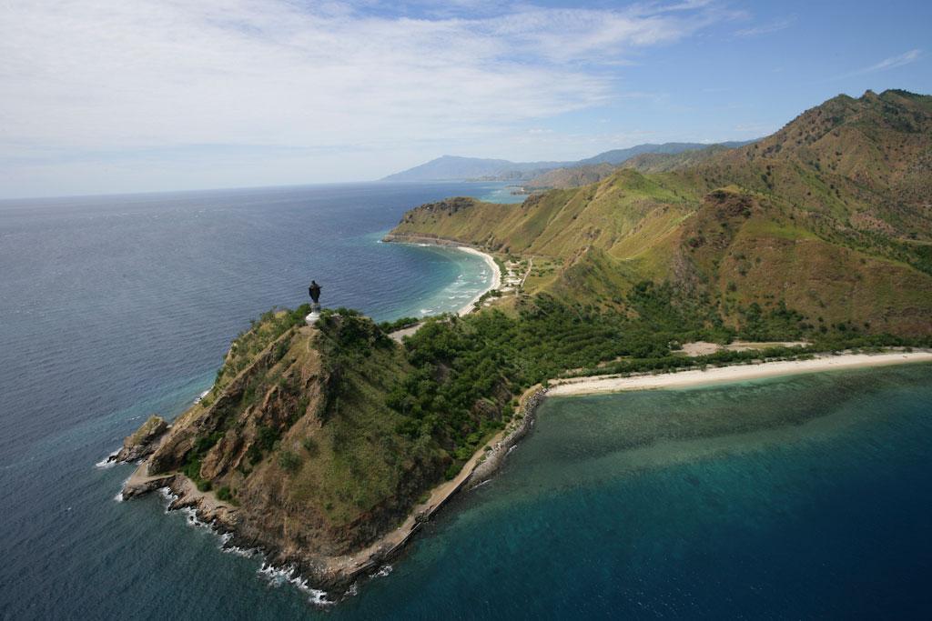
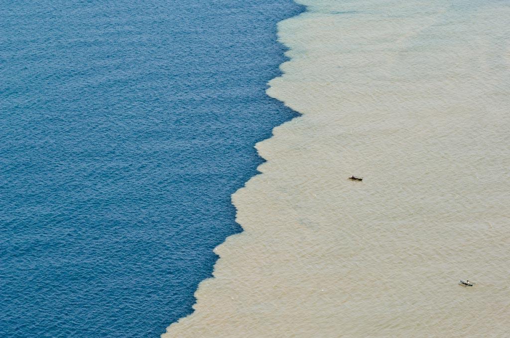
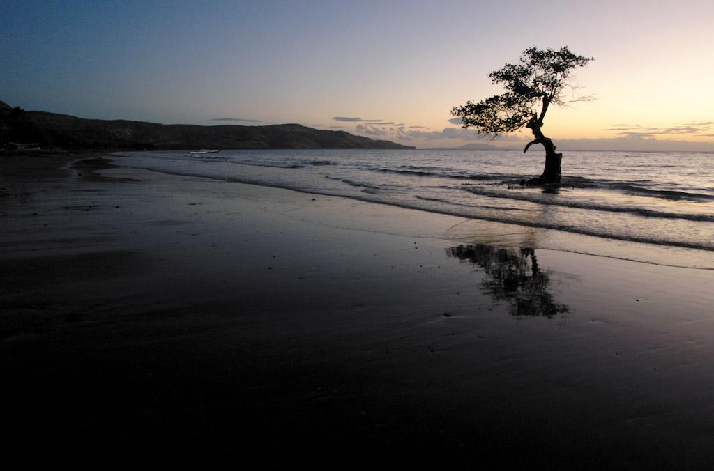
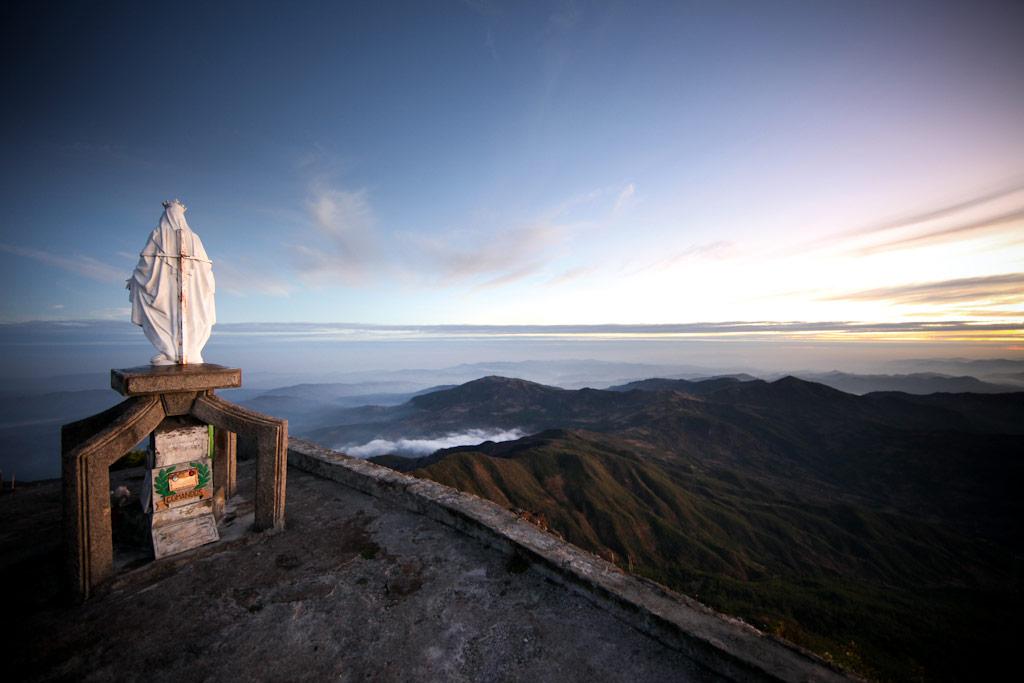
Explore Timor-Leste
UNMIT / Martine Perret
UNMIT / Martine Perret
UNMIT / Martine Perret
UNMIT / Martine Perret
UNMIT
UNMIT
UNMIT
UNMIT
UNMIT
UNMIT
UNMIT
UNMIT
UNMIT
UNMIT
UNMIT
UNMIT